Safe Aerial Data Collection

About our Drone Partners
Aerial work is highly useful in examining sites prior to committing to construction and for producing marketing materials to help your development sell. Mensura has teamed up with Dronelex Limited to offer Clients and project teams a first class, safe, means of collecting aerial data, videos and photographs both within the UK and throughout the EU. Dronelex is fully insured and operates in accordance with a CAA Operational Authorisation meaning that they can fly in places and do things that normal recreational pilots cannot. All flights are pre-planned and carried out safely in accordance with a pre-determined bespoke risk assessment.
Site Technical Due Diligence
As all Clients know, carrying out proper due diligence (both legal and technical) before committing to the purchase of a site is essential. even once acquired, further investigations will be necessary including surveys of existing structures, ground investigations, etc. seeing things from the air provides a special view of the property. Many Clients use tools such as Google Earth to gain an oversight. However, this has limitations and cannot focus on the specific details that may warrant further investigation. It is a lot safer to deploy a drone to collect that to, for example, put a human at risk of heights or in confined spaces.


Aerial Content Production
Aerial views of a property give it that special feel. Perhaps you require progress photographs from a construction site or wish to prepare a short video for marketing purposes or perhaps an internal |"fly thru". Mensura can safely collect aerial data for such purposes and will produce the work in a professional manner. Importantly, when working in residential areas, matters of privacy have to be considered. Our planning process takes all safety matters, risks and privacy issues into account. Our still shots and video footage undergoes post production to provide the nest quality outputs or the raw material can be provided for your own editing.
Thermographic Surveys
Energy saving is vitally important in the modern age. Our thermographic camera equipped drone can track down hot spots and cold spots with ease. This produces substantial savings on people based surveys and again saves having to put people at risk to collect data at heights. Analysis is made using the latest tools and our reports highlight any areas of concern.


Drone Flying Days
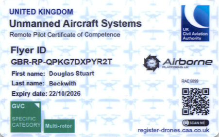
From time to time, we invite valued Clients to join with us and our Partner, Dronelex, in short half day flying days. Here we demonstrate how operations are planned and show Clients how to fly safely. If don't already have one, then you'll need to get a Flyer ID. It's free and easy to complete the short online theory test. (You won't need an Operator ID as you'll be flying under our Operational Authorisation and you'll be covered by our insurance. If you'd like to be considered for an invitation to a flying day then complete the Contact form to let us know you are interested.